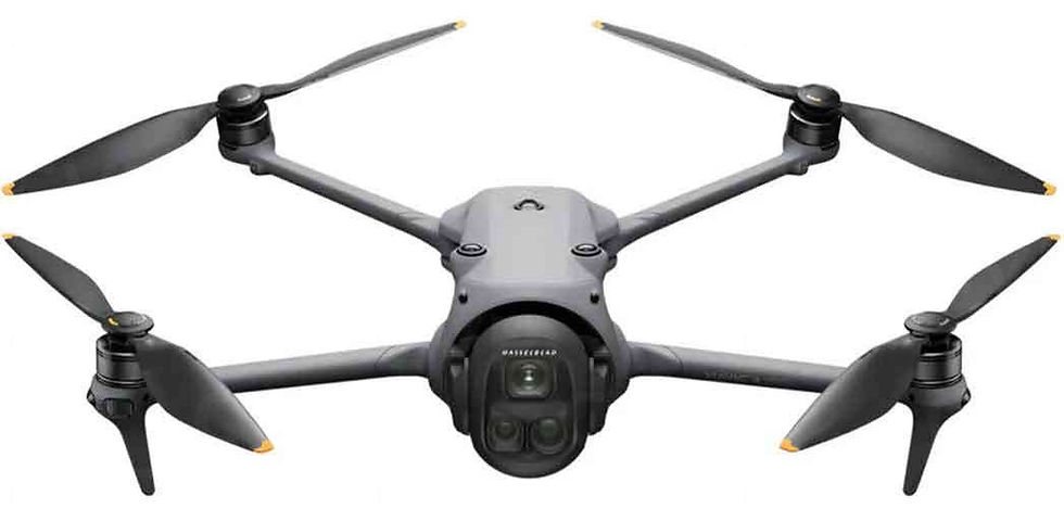
Precision from Above: How Marshall’s Drone Services Ltd Elevates Aerial Mapping & Inspections
- michael marshall
- May 9, 2025
- 2 min read
Updated: Jul 29, 2025
At Marshall’s Drone Services Ltd, we’re committed to delivering accurate, reliable, and professional aerial solutions across Medway and the South East. With

disciplined experience behind our operations, we combine cutting-edge drone technology with a service-first mindset. That’s why we rely on some of the most advanced tools in the industry — including the DJI Mavic 3 Enterprise (M3E), Mavic 3 Thermal (M3T), and the RTK-3 base station — to ensure our clients get detailed, high-quality results every time.
The Mavic 3 Enterprise (M3E): The Gold Standard in Aerial Mapping
The Mavic 3 Enterprise is the backbone of our mapping operations. Equipped with a 20MP wide-angle camera with a mechanical shutter, the M3E allows us to capture crisp, distortion-free images that are essential for creating detailed and accurate maps.
Key Benefits:
Fast and Efficient Data Capture: The M3E’s high-resolution sensor and smart capture capabilities make it ideal for large-scale mapping missions.
Mechanical Shutter: This reduces motion blur, ensuring precision in every image — crucial for photogrammetry and 3D modelling.
Compact and Deployable: Its portability allows for rapid setup and deployment, reducing downtime and maximizing productivity on-site.
Mavic 3 Thermal (M3T): See What Others Can’t
For more complex inspections, particularly those requiring thermal insight, the Mavic 3 Thermal steps in. It’s a powerful tool for roof inspections, solar panel surveys, and emergency response, where detecting heat anomalies or structural issues can save time, money, and even lives.
Key Benefits:
Dual Camera System: Combining a 48MP visual camera with a high-resolution thermal sensor, the M3T provides a complete visual and thermal overview.
Thermal Imaging at 640x512 resolution: Detects subtle temperature differences, making it ideal for inspections involving insulation, energy loss, or potential fire hazards.
Real-Time Monitoring: Stream thermal and RGB feeds simultaneously for faster on-site decisions.
DJI RTK-3 Base Station: Accuracy Down to the Centimetre
To ensure our mapping and inspection data is as accurate as possible, we pair our drones with the RTK-3 (Real-Time Kinematic) Base Station. This technology enables centimetre-level positioning accuracy — a vital feature for professional surveying, construction planning, and infrastructure monitoring.
Key Benefits:
Centimetre-Level Precision: Reduces GPS error, which is especially important for georeferenced mapping and GIS data.
Stable Connectivity: The RTK module ensures signal reliability even in challenging environments like urban or remote rural areas.
Quick Deployment: The base station is lightweight and user-friendly, ideal for field use.
The Marshall’s Advantage
What sets Marshall’s Drone Services Ltd apart isn’t just our tech — it’s our service. We're fully CAA-registered, insured, and approved for operational authorization, meaning our clients benefit from peace of mind as well as precision.
Whether you're a construction firm needing reliable topographical data, a property manager looking to assess roofing integrity, or a solar company aiming to optimise efficiency with thermal surveys — we bring experience, professionalism, and elite technology to every mission.


Comments